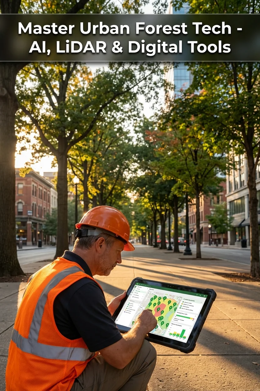
Urban Forest Management Technology: AI, LiDAR, and Digital Tools for 2026
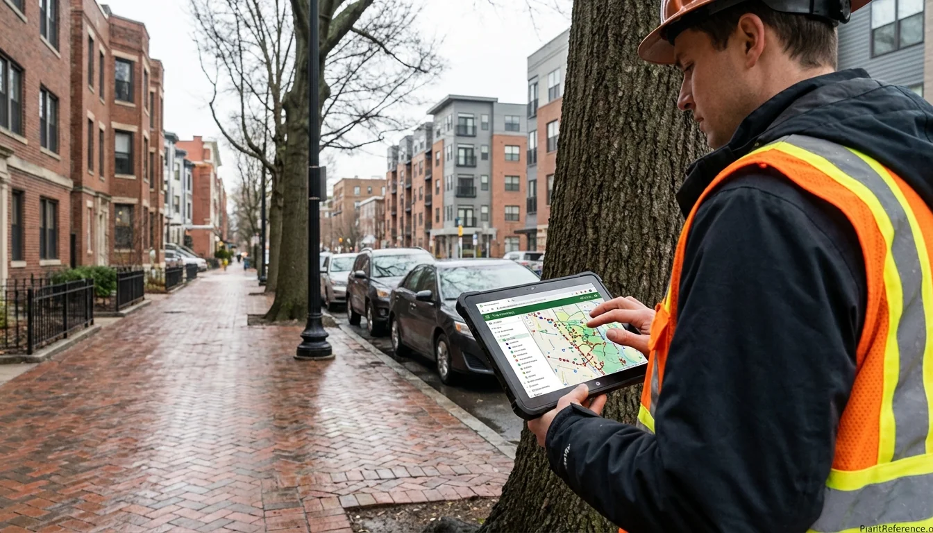
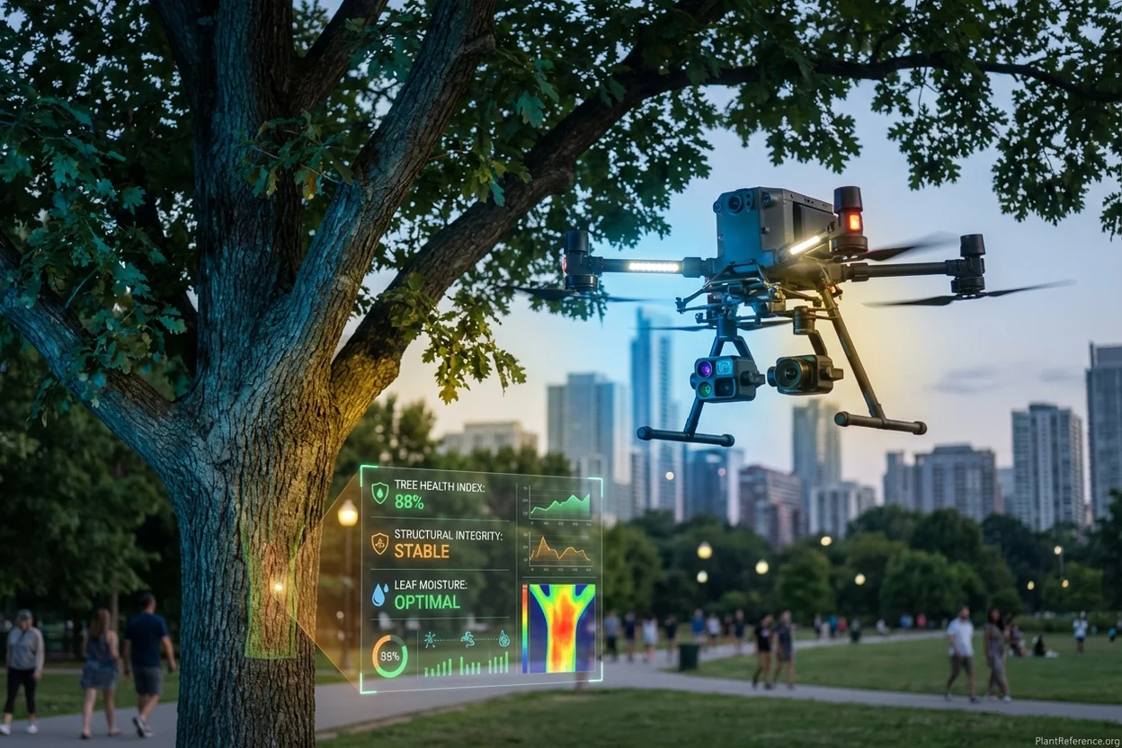
— Image © Plant Reference 2026
Urban forest management has undergone a remarkable digital transformation in recent years. Modern cities now leverage sophisticated urban forest management software platforms, artificial intelligence diagnostics, and remote sensing technology to optimize tree health, reduce maintenance costs, and maximize ecosystem services. This technological evolution enables data-driven decisions that were impossible just a decade ago.
The Digital Urban Forest Revolution
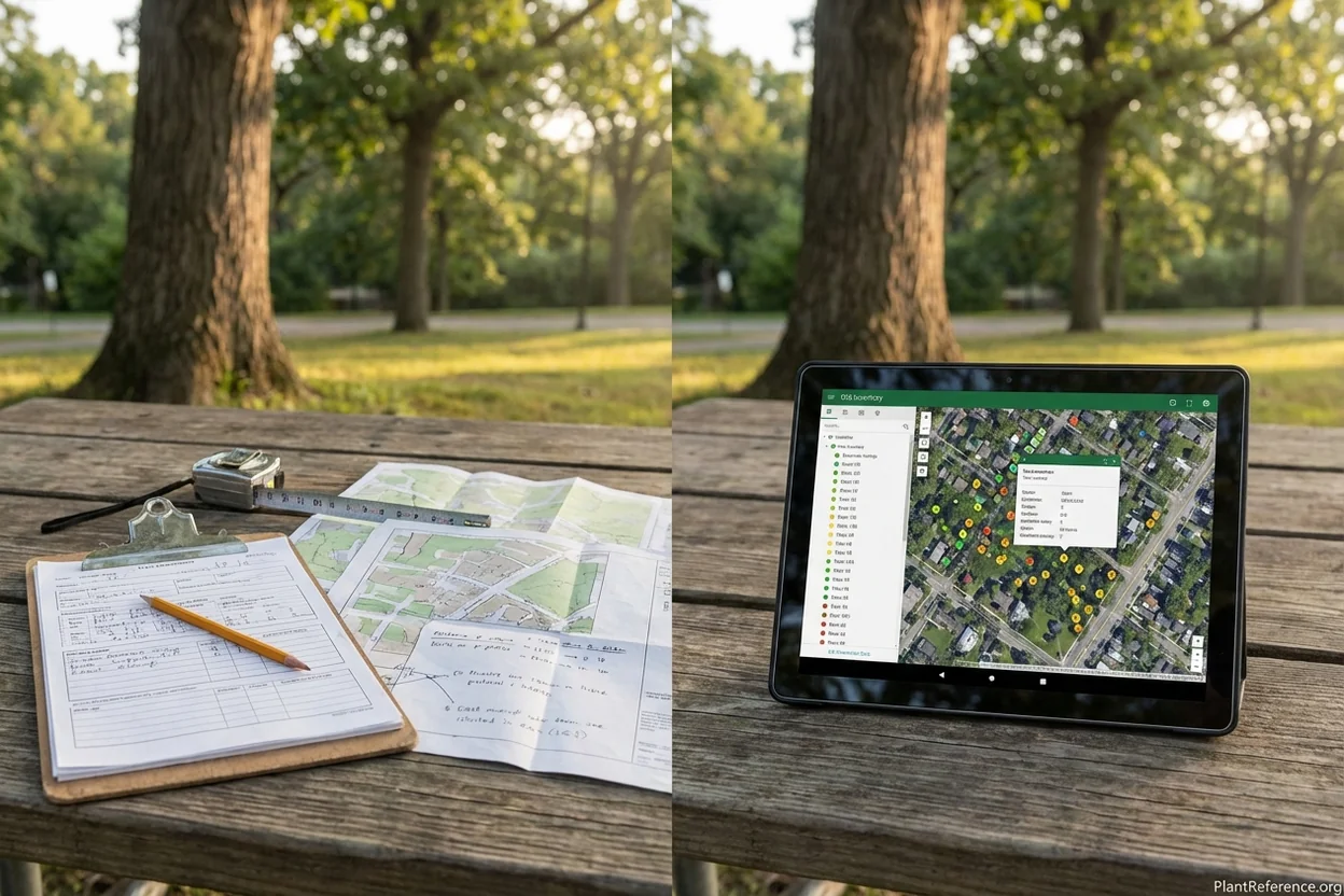
The shift from paper-based tree inventories to comprehensive digital management platforms represents one of the most significant advances in modern arboriculture. Traditional methods relied on clipboards, paper maps, and manual data entry—processes that were time-consuming, error-prone, and difficult to update. Today's urban forest management software integrates GPS mapping, real-time health monitoring, predictive analytics, and automated work order generation into unified platforms that municipal foresters access from any device.
This transformation addresses critical challenges facing urban forestry programs. Budget constraints force municipalities to maximize efficiency, while climate change demands more sophisticated species selection and health monitoring. Digital platforms provide the data infrastructure necessary for evidence-based decision making, enabling cities to demonstrate return on investment and justify urban forestry expenditures through quantified ecosystem service benefits.
The consolidation of ANSI A300 standards in 2024 further accelerated technology adoption by creating unified specifications that software platforms could implement consistently. Rather than managing separate documents with conflicting requirements, arborists now reference a single comprehensive standard that digital platforms can embed directly into work order specifications and compliance tracking.
Top Urban Forest Management Software Platforms
TreePlotter INVENTORY (PlanIT Geo)
TreePlotter INVENTORY has emerged as the leading comprehensive platform for municipal urban forest management, with pricing starting at $3,500 annually and customer satisfaction ratings averaging 4.5 out of 5 stars. The cloud-based system integrates seamlessly with Cityworks, ESRI ArcGIS, and other municipal software infrastructures, providing real-time synchronization across departments.
Key features include native TRAQ risk assessment integration, CTLA tree valuation calculations, and automated work order generation based on condition ratings. The platform's strength lies in its comprehensive reporting capabilities—municipalities can generate detailed ecosystem service reports, budget forecasts, and compliance documentation with minimal manual input. Advanced users appreciate the custom field options and API integration capabilities that allow connection with specialized equipment like sonic tomographs and resistographs.
The mobile application enables field crews to update tree conditions, capture photos, and record GPS coordinates even without cellular connectivity, synchronizing automatically when network access returns. This offline capability proved essential during the 2024 hurricane season when many municipal systems experienced extended outages but tree assessment work continued uninterrupted.
ArboStar: AI-Powered Business Management
ArboStar revolutionized the tree care industry by introducing the first artificial intelligence system specifically designed for arboriculture operations. Their RAI (Real Arborist Intelligence) platform includes 10 specialized AI assistants that handle estimation, scheduling, customer communication, and predictive maintenance recommendations.
The RAI Estimator reduces job proposal errors by 40% while generating profit-aware estimates that consider material costs, labor efficiency, and seasonal demand fluctuations. The scheduling optimization algorithm analyzes crew capabilities, equipment requirements, travel time, and weather forecasts to maximize daily productivity. Early adopters report administrative time savings of approximately 9 hours per week and operational capacity increases up to 22%.
What sets ArboStar apart is its learning capability—the AI system continuously improves by analyzing successful job outcomes, identifying patterns in tree health progression, and refining risk assessment accuracy. The platform particularly excels in commercial tree care operations where volume and consistency are critical for profitability.
TreeKeeper (Davey Tree Expert Company)
TreeKeeper focuses specifically on municipal urban forestry applications, with deep integration into 311 citizen service systems and comprehensive environmental benefit calculation capabilities. The platform excels at managing resident service requests, tracking complaint resolution, and generating public-facing reports that demonstrate urban forestry program value to city councils and community stakeholders.
The software's strength lies in its policy compliance modules—municipalities can configure TreeKeeper to automatically enforce local tree protection ordinances, calculate permit fees, and track replacement tree obligations. This automation reduces administrative burden while ensuring consistent policy application across all staff members.
TreeKeeper's ecosystem service calculations use the latest i-Tree methodology to quantify carbon sequestration, stormwater mitigation, energy savings, and air quality improvements. These valuations prove essential when municipalities compete for limited budget allocations or seek grant funding for urban forestry expansion.
ArborNote and Mobile-First Platforms
ArborNote has carved a niche in proposal-driven tree care businesses by focusing on professional presentation and GPS accuracy. With over 15 million trees mapped and $4.5 billion in proposal value tracked, the platform demonstrates particular strength in competitive bidding environments where detailed site documentation and professional proposals determine contract awards.
The system's automated tree survey spreadsheet generation saves hours of manual data entry while ensuring accuracy and consistency across multiple job sites. GPS integration captures precise tree locations for future reference, enabling accurate change detection over time and supporting long-term maintenance planning.
Mapscape and Government Security Requirements
For organizations requiring enhanced security protocols, Mapscape provides ESRI-partnered solutions that meet government data protection standards. The platform specializes in large-scale infrastructure projects where tree preservation and protection documentation must integrate with broader development planning workflows.
Mapscape excels in creating site plans that integrate tree preservation requirements with engineering constraints, utility corridors, and zoning compliance. The platform's strength lies in its ability to generate legally defensible documentation for development permitting while maintaining the detailed tree-specific data necessary for ongoing management.
Platform | Annual Cost | Best For | Key Strength | Mobile App |
|---|---|---|---|---|
TreePlotter INVENTORY | $3,500+ | Municipal forestry | Comprehensive features, GIS integration | Excellent offline |
TreeKeeper | Contact pricing | Large municipalities | 311 integration, policy compliance | Good |
ArboStar | Contact pricing | Commercial tree care | AI optimization, business analytics | Excellent |
ArborNote | Contact pricing | Proposal-driven firms | Professional proposals, GPS accuracy | Very good |
Mapscape | Contact pricing | Government contracts | Security compliance, site planning | Good |
i-Tree Suite | Free | Ecosystem valuation | Research-grade calculations | Basic |
LiDAR Technology and Digital Twin Mapping
Light Detection and Ranging (LiDAR) technology has fundamentally transformed large-scale urban forest assessment by creating precise three-dimensional digital representations of entire canopies. These "digital twins" capture structural details impossible to measure through ground-based methods, enabling sophisticated analysis of canopy volume, height distribution, and change detection over time.
Mobile LiDAR Systems: The Greehill Revolution
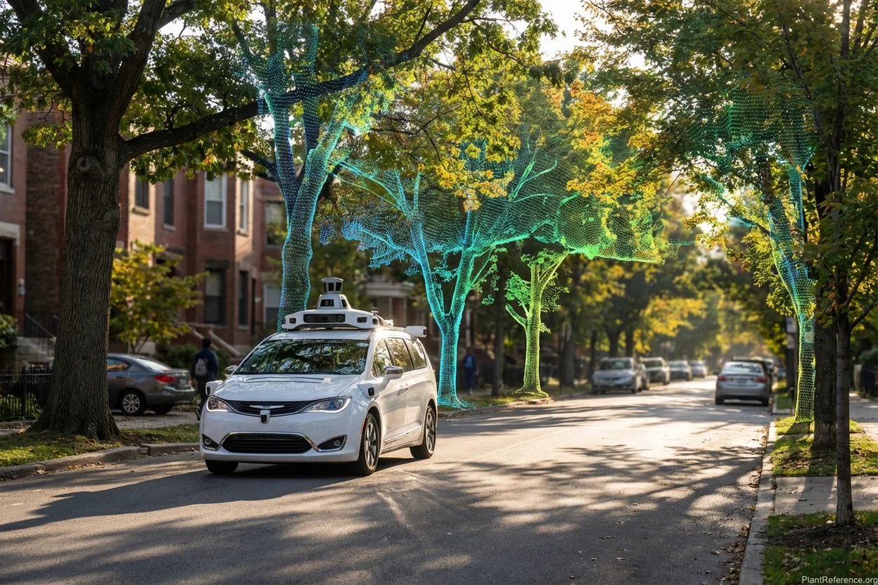
The most significant advancement in urban forest assessment comes from greehill's vehicle-mounted mobile LiDAR system, which scans approximately 8,000 trees per day compared to 150 trees assessed manually by ground crews. This 50x productivity increase makes comprehensive citywide inventories economically feasible for municipalities that previously could only assess small representative samples.
Greehill's system combines centimeter-accurate LiDAR point clouds with ultra-high-resolution panoramic imagery to create detailed digital twins that capture species identification, diameter measurements, crown dimensions, structural condition, and health indicators. The AI analysis automatically detects lean angles, structural weaknesses, deadwood percentages, and crown dieback—conditions that require extensive training and experience to identify through traditional ground assessment.
Over 70 cities adopted greehill technology in 2024, with reported outcomes including greater than 80% improvement in safety outcomes and maintenance cost savings up to 30%. The system's ability to establish baseline conditions and track changes over time provides municipalities with unprecedented insight into urban forest dynamics and management effectiveness.
Drone-Based LiDAR Assessment
Unmanned aerial systems equipped with LiDAR sensors provide cost-effective solutions for medium-scale assessments. The DJI M350 RTK drone platform with Zenmuse L2 LiDAR sensor can map approximately 10,000 trees across 15 hectares in just 15 minutes, producing canopy height models and individual tree crown detection with sub-meter accuracy.
Drone-based systems excel in situations where vehicle access is limited—parks, campus environments, and residential areas where mobile LiDAR vehicles cannot safely operate. The aerial perspective enables assessment of crown conditions and structural relationships invisible from ground level, particularly important for risk assessment of trees over buildings and pedestrian areas.
The combination of LiDAR point clouds with multispectral imagery provides insights into tree health that visual assessment cannot match. Near-infrared reflectance patterns indicate photosynthetic activity and stress levels, while thermal imagery reveals water stress and disease conditions before visible symptoms appear.
TreeStructor: AI-Driven 3D Forest Reconstruction
Research collaboration between Purdue University and Kiel University produced TreeStructor, an AI system that reconstructs detailed 3D forest models from remote sensing data. The system uses a "dictionary method" where artificial intelligence compares point-cloud data against predefined geometric meshes representing different tree parts and growth patterns.
TreeStructor's innovation lies in its ability to decompose complex forest point clouds into individual tree models, then further separate those into component parts—trunk, primary branches, secondary structure, and foliage. This level of detail enables biomechanical analysis, wind-load calculations, and failure probability assessment that supports sophisticated risk management decisions.
The system outperforms previous automated methods by approximately 6% in accuracy while showing 12% less error when processing low-quality data—a significant improvement for real-world applications where perfect data collection conditions rarely exist. Processing hundreds of trees in minutes makes TreeStructor practical for routine operational use rather than specialized research applications.
AI-Powered Diagnostics and Predictive Analytics
Artificial intelligence applications in urban forestry extend far beyond simple data organization to provide predictive insights that enable proactive management strategies. Modern AI systems analyze historical inspection data, weather patterns, species-specific failure rates, and environmental stressors to generate prioritized maintenance recommendations and early warning systems.
Predictive Health Modeling
Machine learning algorithms trained on thousands of tree health assessments can identify subtle pattern combinations that indicate declining health before visible symptoms appear. These models consider species-specific vulnerability profiles, site conditions, climate stressors, and maintenance history to calculate probability distributions for various health outcomes.
For example, AI analysis might identify that oak trees in specific soil conditions showing particular leaf color patterns have an 85% probability of developing oak wilt within 18 months, enabling preventive treatment before infection spreads to adjacent trees. This predictive capability transforms reactive emergency response into proactive health maintenance.
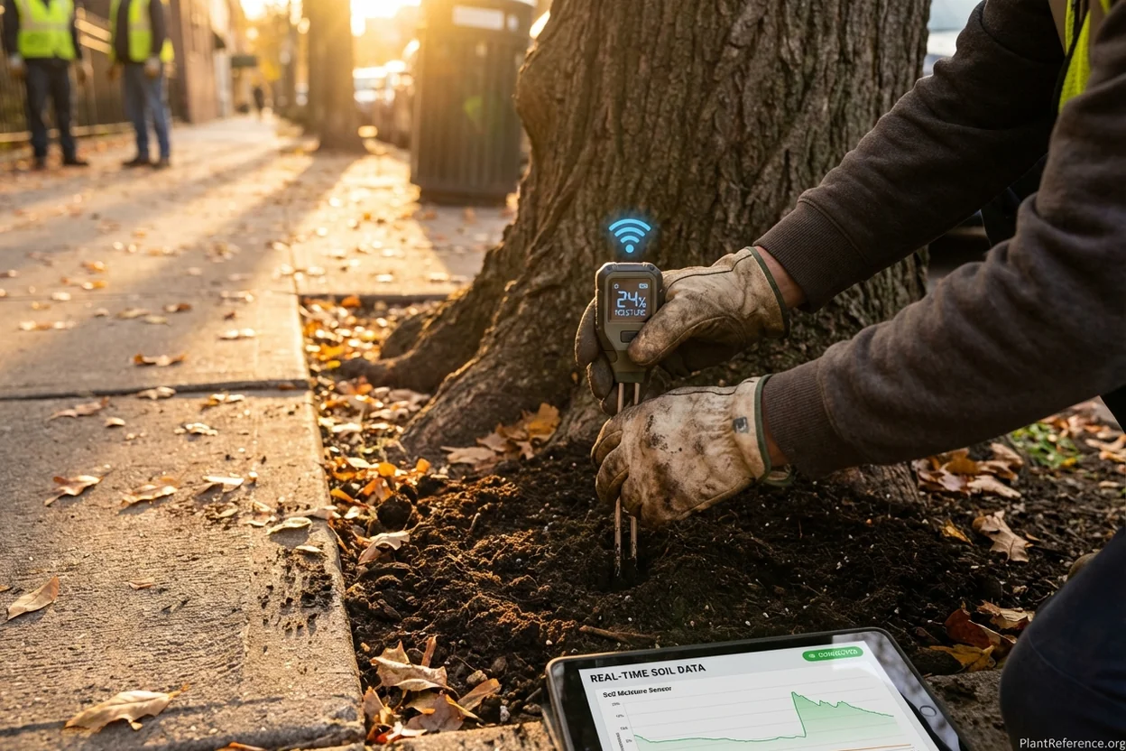
The integration of IoT sensor data with AI analysis provides continuous health monitoring that detects stress conditions in real-time. Soil moisture sensors, stem movement detection, and microclimatic monitoring generate data streams that AI systems analyze for early indicators of drought stress, root problems, or structural instability.
Risk Prioritization and Resource Optimization
Municipal forestry programs face the perpetual challenge of limited resources and unlimited needs. AI-powered prioritization systems analyze risk assessment data, proximity to targets, consequence potential, and treatment costs to generate optimized work schedules that maximize safety improvements per dollar invested.
Advanced systems consider crew capabilities, equipment availability, travel time optimization, and weather windows to create realistic work schedules that account for operational constraints. The result is more efficient resource utilization and improved safety outcomes through systematic rather than ad-hoc maintenance approaches.

Farmonaut Satellite Integration
Satellite multispectral imagery provides landscape-scale monitoring capabilities that complement ground-based assessments. Farmonaut's platform analyzes NDVI (Normalized Difference Vegetation Index) patterns to identify vegetation stress, disease outbreaks, and environmental change across entire municipal canopies.
The temporal analysis capabilities reveal seasonal patterns and long-term trends that inform species selection, irrigation scheduling, and climate adaptation strategies. Satellite data proves particularly valuable for monitoring large park systems and natural areas where individual tree assessment is impractical but overall forest health trends are critical for management decisions.
IoT Sensors and Real-Time Monitoring Systems
Internet of Things (IoT) sensors transform static tree inventories into dynamic monitoring networks that provide continuous insight into tree health and environmental conditions. These sensor systems enable precision management approaches that optimize resource use while maintaining optimal growing conditions.
Soil Moisture and Irrigation Optimization
Soil moisture sensors installed in root zones provide real-time hydration data that enables precision irrigation management. These systems reduce water waste by 25-40% while ensuring trees receive optimal moisture levels for healthy growth. Automated irrigation systems can respond to sensor data, weather forecasts, and species-specific water requirements to maintain ideal soil conditions without human intervention.
The integration of soil sensors with weather station data creates sophisticated irrigation models that account for evapotranspiration rates, precipitation forecasts, and seasonal growth patterns. This level of precision proves essential in drought-prone regions where water conservation and tree health must be balanced carefully.
Structural Monitoring and Safety Systems
Tilt sensors and movement detection systems provide early warning for structural failure by detecting minute changes in lean angle or root plate movement. These sensors prove particularly valuable during storm events when traditional assessment methods are impractical but risk levels are highest.
TreeTalker (TT+) sensors represent the most comprehensive IoT solution for urban forestry, monitoring transpiration rates, carbon sequestration, particulate matter removal, and temperature reduction. Research data shows average trees equipped with TreeTalker sensors reduce extreme heat by 2°C (3.6°F) and sequester 8.61 kg of carbon per growing season—quantified benefits that support urban forestry budget justifications.
Dendrometer Technology for Growth Monitoring
Dendrometers measure daily stem growth and shrinkage patterns that indicate tree health and stress levels. These instruments detect the subtle diameter changes that occur as trees transport water and respond to environmental conditions. Continuous monitoring reveals drought stress, disease impacts, and treatment effectiveness with unprecedented precision.
The data streams from dendrometer networks enable researchers and managers to understand how urban trees respond to heat waves, pollution events, construction disturbance, and management interventions. This knowledge base supports evidence-based decision making and continuous improvement of urban forestry practices.
Mobile Data Collection and Field Tools
The evolution from paper-based field data collection to sophisticated mobile applications has eliminated transcription errors while enabling real-time data synchronization and automated quality control. Modern field applications integrate GPS precision, photographic documentation, voice-to-text capabilities, and offline functionality to support efficient data collection in any environment.
Offline Functionality and Data Synchronization
Urban forestry work often occurs in areas with limited cellular connectivity, making offline capability essential for reliable field operations. Leading platforms store data locally on mobile devices, enabling crews to continue working during network outages and synchronizing automatically when connectivity returns.
The synchronization process includes conflict resolution algorithms that handle situations where multiple crew members update the same tree record simultaneously. Advanced systems maintain detailed edit histories that enable supervisors to track data quality and identify training needs for individual crew members.
Photographic Documentation and AI Analysis
Integrated camera functions capture standardized tree photographs that support condition assessment, change detection, and quality assurance. AI image analysis algorithms can identify species, estimate diameter measurements, detect visible defects, and flag images that require human review.
The combination of GPS coordinates with photographic documentation creates permanent records that support long-term monitoring, legal proceedings, and public communication. Standardized photo angles and lighting conditions enable accurate before-and-after comparisons that demonstrate management effectiveness and justify program expenditures.
Voice Recognition and Natural Language Processing
Voice-to-text capabilities enable efficient data entry while keeping hands free for measurement tools and safety equipment. Natural language processing algorithms can interpret spoken descriptions of tree conditions and convert them into standardized condition ratings and work recommendations.
This technology proves particularly valuable for experienced arborists whose observational skills exceed their data entry capabilities. Spoken assessments capture nuanced observations that structured forms might overlook while maintaining the data standardization necessary for analysis and reporting.
GIS Integration and Spatial Analysis
Geographic Information Systems (GIS) integration transforms tree inventory data into sophisticated spatial analysis tools that reveal patterns invisible in tabular data formats. Modern urban forest management platforms provide native GIS functionality that enables complex spatial queries, proximity analysis, and predictive modeling without requiring specialized GIS expertise.
Canopy Coverage Analysis and Equity Assessment
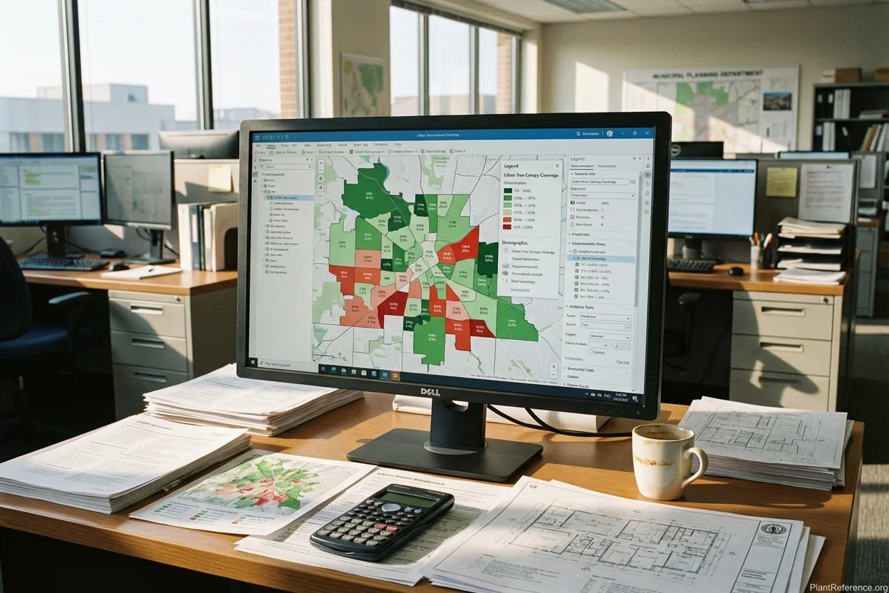
GIS-based canopy analysis reveals distribution patterns that inform equity initiatives and strategic planting programs. Tree Equity Score mapping identifies neighborhoods with inadequate canopy coverage relative to demographic indicators, supporting targeted investment in underserved communities.
Spatial analysis can identify optimal planting locations by analyzing factors such as available space, soil conditions, utility conflicts, maintenance access, and community need. These analyses support efficient resource allocation and maximize the ecosystem service benefits of new tree investments.
The integration with Census data, property records, and other municipal datasets enables comprehensive urban forest planning that considers demographic patterns, land use changes, and development pressures. This holistic approach ensures urban forestry programs align with broader municipal planning objectives.
Climate Zone Mapping and Species Selection
GIS platforms enable sophisticated climate analysis that informs species selection for long-term resilience. Microclimate mapping considers factors such as elevation, proximity to water bodies, urban heat island effects, and wind patterns to identify appropriate species for specific locations.
The integration of climate projection data enables "future-proofing" of planting decisions by considering projected temperature and precipitation changes over the expected lifespan of newly planted trees. This approach helps avoid the costly mistakes of planting species that may struggle or fail as climate conditions change.
Infrastructure Integration and Conflict Avoidance
Spatial analysis of utility locations, building foundations, and transportation infrastructure helps identify potential conflicts before they occur. Tree growth models combined with infrastructure data can predict future conflicts and inform species selection, placement, and maintenance planning.
This proactive approach reduces emergency tree removals, utility conflicts, and infrastructure damage while ensuring adequate clearance for pedestrian and vehicular traffic. The long-term cost savings from avoiding conflicts often exceed the initial investment in comprehensive spatial analysis.
Cost-Benefit Analysis of Technology Adoption
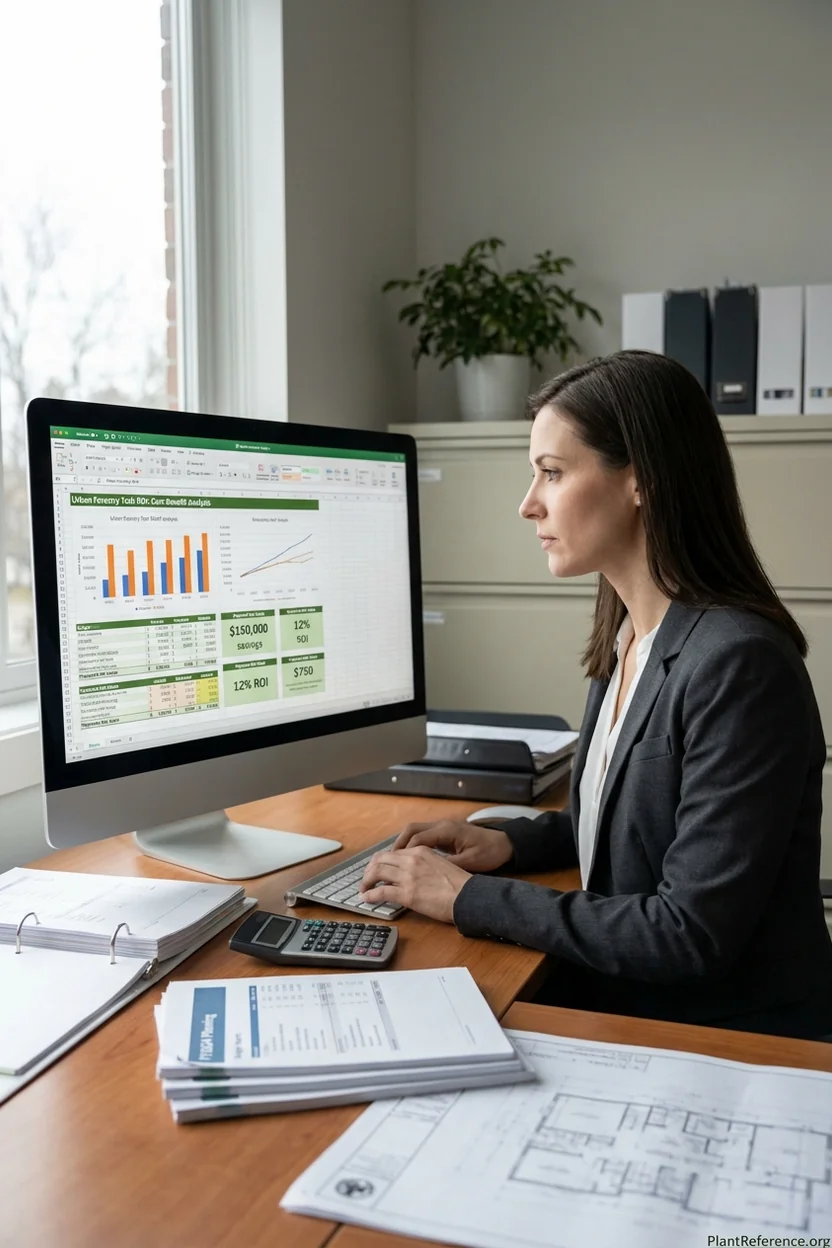
Municipal decision-makers require clear evidence that technology investments will produce measurable benefits that justify their costs. Comprehensive cost-benefit analyses must consider both direct financial impacts and indirect benefits such as improved service delivery, risk reduction, and staff productivity.
Direct Cost Comparisons
Traditional manual tree inventory methods require approximately 15-20 minutes per tree for basic assessment, limiting crew productivity to 20-25 trees per person per day. Digital platforms with mobile applications reduce assessment time to 8-12 minutes per tree while improving data quality and eliminating transcription errors.
The labor cost savings from improved efficiency often recover technology platform costs within 18-24 months for municipalities with substantial tree populations. Additional savings accrue from reduced paper costs, eliminated data entry positions, and decreased travel time through optimized routing algorithms.
Risk Reduction Valuations
Improved risk assessment accuracy and prioritization reduce liability exposure from tree failures. The average settlement for property damage from tree failure ranges from $25,000 to $150,000, while personal injury claims can exceed $1 million. Technology systems that improve hazard identification and enable proactive maintenance significantly reduce these risks.
Quantifying risk reduction requires analysis of historical failure rates, claim costs, and the probability that improved assessment would have prevented specific incidents. Conservative estimates suggest that comprehensive digital risk management reduces annual liability costs by 15-25% for municipal programs.
Ecosystem Service Benefit Quantification
Digital platforms enable precise quantification of ecosystem services that support budget justifications and grant applications. The ability to demonstrate that urban forestry programs generate $3-5 in benefits for every dollar invested provides compelling evidence for continued funding.
Modern i-Tree calculations integrated into management platforms provide automated ecosystem service reporting that quantifies carbon sequestration, stormwater management, energy savings, and air quality improvements. These valuations support capital improvement project justifications and environmental compliance reporting.
However, it's important to note that i-Tree funding faces uncertainty under current federal budget conditions, making investment in commercial platforms with integrated ecosystem service calculations increasingly important for municipalities requiring ongoing benefit quantification capabilities.
Implementation Strategies for Different Organization Sizes
Successful technology adoption requires implementation strategies tailored to organizational capacity, technical expertise, and budget constraints. Small municipalities face different challenges than large cities, while private tree care companies have distinct requirements from public agencies.
Small Municipality Strategies (Populations Under 50,000)
Small municipalities often lack dedicated IT staff and technical expertise, making platform selection and implementation challenging. The most successful approaches prioritize simplicity, vendor support, and gradual capability expansion over comprehensive feature sets.
Cloud-based platforms with comprehensive vendor support prove most practical for small organizations. Annual subscription costs of $3,500-7,500 are often more manageable than large capital expenditures, while vendor-provided training and support reduce internal resource requirements.
Phased implementation approaches allow small municipalities to develop internal expertise gradually while demonstrating program value to elected officials and community stakeholders. Starting with basic inventory and condition assessment, then adding advanced features such as work order management and ecosystem service reporting as staff capability develops.
Large Municipality and Enterprise Approaches
Large municipalities require platforms that integrate with existing enterprise systems, support multiple user roles and permissions, and provide scalable architecture for substantial tree populations. Integration with 311 systems, financial management platforms, and existing GIS infrastructure becomes essential for operational efficiency.
Enterprise implementations often require 12-18 months for complete deployment, including data migration, staff training, process development, and system integration. The complexity demands dedicated project management and may require consultant support for successful completion.
Custom development and API integration capabilities become important for large organizations with unique requirements or legacy systems that must be maintained during transition periods. The ability to customize workflows, reporting, and user interfaces ensures that technology supports rather than constrains operational efficiency.
Private Tree Care Company Applications
Commercial tree care companies prioritize features that improve profitability, customer satisfaction, and business growth. Estimation accuracy, scheduling optimization, and customer communication capabilities often provide more immediate value than comprehensive inventory management features.
ArboStar's AI-powered business management platform exemplifies private sector applications with features such as profit-aware estimation, optimized crew scheduling, and automated customer communication. These capabilities directly impact the bottom line through improved efficiency and reduced administrative overhead.
The integration of digital platforms with marketing and customer relationship management systems enables professional presentation capabilities that support premium pricing and competitive differentiation. High-quality proposals, detailed photographic documentation, and scientific credibility justify higher service rates in competitive markets.
Future Trends and Emerging Technologies
Urban forestry technology continues evolving rapidly as new sensor capabilities, AI algorithms, and data integration methods become available. Understanding emerging trends helps organizations make strategic technology investments that will remain relevant and valuable over multi-year planning horizons.
Machine Learning and Deep Learning Applications
Advanced machine learning algorithms will enable more sophisticated pattern recognition in tree health assessment, species identification, and risk prediction. Deep learning networks trained on millions of tree images will provide diagnosis accuracy that exceeds human expert capabilities for many conditions.
The integration of multiple data streams—visual imagery, LiDAR point clouds, multispectral data, and environmental sensors—will create comprehensive health models that detect subtle changes invisible to individual assessment methods. These "sensor fusion" approaches represent the next generation of diagnostic capabilities.
Blockchain and Data Integrity
Blockchain technology applications in urban forestry focus on creating tamper-proof records for high-value trees, carbon credit verification, and compliance documentation. Immutable records of tree planting, maintenance, and removal activities support legal proceedings, environmental reporting, and asset valuation.
The ability to create verifiable carbon sequestration records becomes increasingly important as carbon markets develop and municipalities seek revenue from environmental services. Blockchain-based verification systems could enable direct compensation for urban forest carbon benefits.
Autonomous Systems and Robotics
Autonomous drone systems will provide routine canopy monitoring without human operators, reducing assessment costs while increasing monitoring frequency. AI-powered flight planning and image analysis will enable fully automated health monitoring for large park systems and natural areas.
Ground-based autonomous systems may eventually provide routine maintenance tasks such as mulching, irrigation system maintenance, and basic pruning operations. These systems could reduce labor costs while ensuring consistent maintenance quality across large tree populations.
The transformation of urban forest management through digital technology represents one of the most significant advances in arboriculture since the development of modern pruning techniques. Platforms like TreePlotter INVENTORY, ArboStar's AI system, and mobile LiDAR technology provide capabilities that were unimaginable just a decade ago.
Municipal foresters and private arborists who embrace these technologies gain substantial competitive advantages through improved efficiency, better risk management, and enhanced service delivery. The key to successful implementation lies in matching platform capabilities with organizational needs while ensuring adequate training and support for long-term success.
As climate change and urban growth create new challenges for urban forests, technology platforms provide the data infrastructure necessary for adaptive management strategies. The municipalities and companies that invest in comprehensive digital capabilities today will be best positioned to maintain healthy, resilient urban forests in the decades ahead.
For more guidance on implementing technology solutions in your urban forestry program, explore our comprehensive guides on Tree Risk Assessment: TRAQ Methods, Levels, and What to Expect in 2026 and How to Write a Tree Care Plan: The Complete 2026 Guide. These resources provide practical frameworks for integrating digital tools into effective tree management programs.
Frequently Asked Questions
Reading about plants and recognising them are different skills. These three build the second.
- Daily PlantIdentify the day’s mystery plant from a close-up photograph.
- Keyed OutWork a dichotomous key, lead by lead, to name a hidden specimen.
- Name That PlantName a specimen from botanical clues dealt hardest first.
Free to play, no account needed
Sarah earned her doctorate in plant biology and spent time working in botanical garden education before transitioning to freelance writing and consulting. Now based in Portland, Oregon, she teaches plant identification workshops at local community centers and maintains a modest collection of over 60 houseplants in her small apartment. Sarah specializes in helping beginners understand plant science without the jargon—her approach focuses on practical observation over theory. She's killed her fair share of fiddle leaf figs and finally cracked the code on keeping them alive.